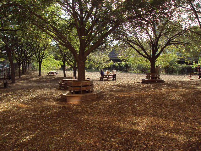
Hillside Dog Park
Columbia Hts., Hicks St., bet. Middagh St. and Vine St.
Brooklyn
Directions via Google Maps
What was here before?
Once known as Ihpetonga -- Algonquin for the high sandy banks -- this area was inhabited by the Marechkawieck until around 1637 when the land was conveyed to the Dutch settlers who arrived here a few years earlier. From 1645 to 1647, they established six plantations, eventually forming the village of Breuckelen.
The area grew as an agricultural community throughout the eighteenth century, eventually making up 31 percent of the King’s County population. Industrialization of the area began in 1814 when Robert Fulton (1765-1815) and prominent Brooklyn Heights developer Hezekiah B. Pierrepont (1768-1838) converted the ferry at Brookland Ferry Landing to a scheduled, steam-operated service.
Show Disclaimer
Facilities


Check out your park's Vital Signs
Clean & Safe
Green & Resilient
Empowered & Engaged Users
Share your feedback or learn more about how this park is part of a
Vital Park System![]()
 |
%7Cutmcsr%3D(direct)%7Cutmcmd%3D(none)%3B%2B__utmv%3D85937960.-%3B)