High Rock Park
Richmond Pkwy., Manor Rd., Summit Ave., Rockland Ave., and Moravian Cemetary
Staten Island
Directions via Google Maps
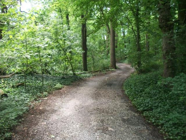
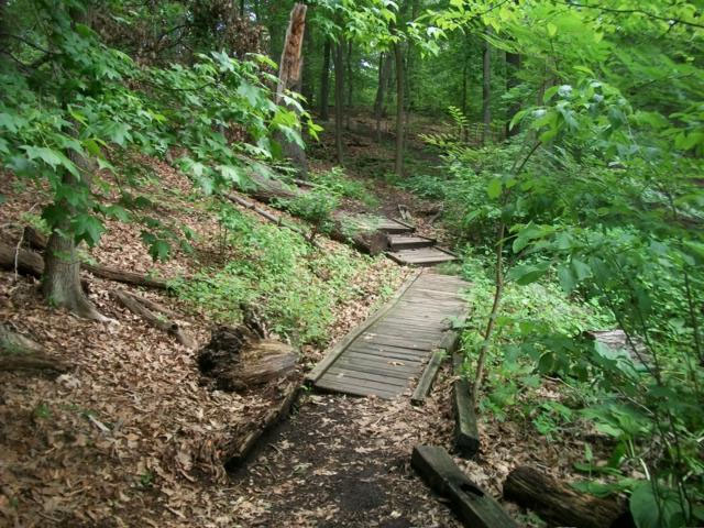
Often referred to as one of the most tranquil places in New York City, High Rock Park is noted for its quiet ponds and deep woods. Hosting the Greenbelt Conservancy’s headquarters, the park has been recognized as a Natural Environmental Education Landmark by the United States Department of the Interior.
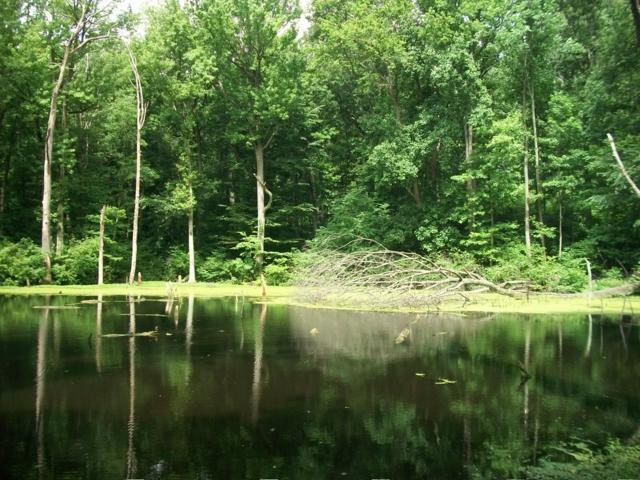
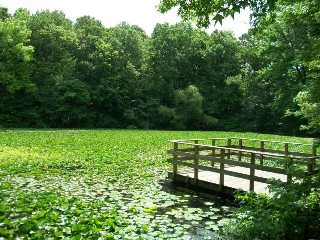
High Rock Park contains five ponds and various wetlands, including Walker Pond and Loosestrife Swamp. There are also six walking trails, along which visitors can see stands of red maples, highbush blueberries, and patches of skunk cabbage. Wood ducks, great blue herons, and muskrats all make their homes here along with hawks, owls, migrating colorful warblers, woodpeckers, frogs and turtles. Visitors can also climb Mt. Moses, a 260-foot hill named for City builder and Parks Commissioner Robert Moses. The 360-degree panoramic view offered by the site is considered one of New York City’s most spectacular.
High Rock Park Conceptual Plan
In coordination with the Greenbelt Administrator and Conservancy, NYC Parks assessed the physical and programming needs of High Rock Park, part of the Staten Island Greenbelt. Working with community stakeholders for a period of nine months, Parks developed a Conceptual Plan for the High Rock's near and long-term future. Priorities of the plan included:
- Park Character: Maintain what is already special: the “walk in the woods” feeling.
- Environmental Education: Renovate and expand facilities to support a growing education program.
- Parking and Accessibility: Make parking more logical, and make the park more accessible.
- Operations Facilities: Rethink operations facilities to better meet the Greenbelt’s needs.
- Public Amenities: Improve public-facing features like signage, interpretive features, and a small event space where appropriate.
- Ecological Restoration: Restore and maintain the park’s most valuable assets, adding green infrastructure where necessary.
Download the planning report to learn more about the plan, how it was developed, and how it will be implemented. This report is a large pdf file and may take some time to download depending on the speed of your internet connection.
Discover the history of High Rock Park
Show Disclaimer
Facilities


Highlights

Check out your park's Vital Signs
Clean & Safe
Green & Resilient
Empowered & Engaged Users
Share your feedback or learn more about how this park is part of a
Vital Park System![]()
 |


%7Cutmcsr%3D(direct)%7Cutmcmd%3D(none)%3B%2B__utmv%3D24561989.-%3B)