Fort Washington Park
Fort Washington Link
This small park between 155th and 158th Streets links two long stretches of public waterfront, Riverside Park and Fort Washington Park, providing continuous parkland along the Hudson River from 145th Street to Manhattan’s northern tip.
Parks Commissioner Robert Moses’ (1888-1981) West Side Improvement Project (1934-37) involved various city and state agencies in the construction of major public works including the Henry Hudson Parkway, extensions of Riverside Park, and the Henry Hudson Bridge. All the projects were linked. When the New York Central began digging underground tracks to make way for the parkway, the earth and rock they removed was recycled as the landfill for this parkland.
The Department of Ports, International Trade, and Commerce turned this inactive site over to Parks in 1989. The transfer became official the following year, after the Division of Real Property mapped the area as parkland. Prior to Parks’ involvement, the vicinity of 156th Street and the Hudson was known as “the Salt” because the Department of Sanitation’s salt spreaders used it as a refill station during the winter months. Between the barrage of truck traffic and the abandonment of the waterfront piers, the site was in disrepair. It was a rough dirt road with occasional broken asphalt pavement. Rainwater draining from the road above splashed down directly onto the dirt, causing occasional flooding and leaving eroded gullies crossing the site.
In 1997, just over two million dollars was allocated for the construction of Fort Washington Link. The 1999 project was funded by the City and by a matching grant from the New York State Environmental Quality Bond Act. This riverside improvement is a vital link in the Hudson River Greenway.
In addition to providing unprecedented public access to the waterfront, the new park provides an innovative method for treating non-point source pollution from the roadway above. Non-point source pollution is the most common type of water pollution in the country, and also in the Hudson River. It occurs when toxic materials, floatable debris, and water-borne bacteria wash off urban surfaces -- especially roadways and parking lots -- and flow into the water during rainstorms. At Fort Washington Link, the design includes an underground trench running parallel to the highway’s edge. This trench catches rainwater from downspouts and directs it through layers of porous materials, beginning with a layer of rounded gravel and ending with activated charcoal. This filtering process removes pollution, particularly hydrocarbons and oils, before letting the cleansed water flow into the river.
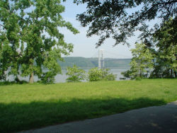
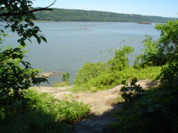
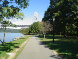
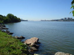
The design mimics the Hudson's native shoreline ecosystem, with meadow grasses and wildflowers, natural boulders of local types of schist and granite stone, and native trees and shrubs. The bike path has a meandering form, encouraging people to appreciate the great views of the river from different angles. There is a portion of the site with a traditional lawn for picnicking or sunbathing. The arrangement and selection of the plantings is intended to support the use of this river corridor by a great variety of wildlife, including the Monarch butterflies which migrate through every fall. The designers aimed to allow the plantings to eventually seed themselves and spread over the lawns, making the parkland self-sustainable.
Check out your park's Vital Signs
Clean & Safe
Green & Resilient
Empowered & Engaged Users
Share your feedback or learn more about how this park is part of a
Vital Park System

Know Before You Go


