Fairview Park
Sandy Ground Woods
What was here before?
The western shores of Staten Island were inhabited by Native Americans for thousands of years and there is evidence of a Woodland Period (2700 BC-1500 AD) Lenape village at the center of what would become Sandy Ground. There are also two documented Lenape sites on the lot of the nearby AME Zion Church. While the Lenape population dwindled by 1700, some of their descendants integrated with Sandy Ground residents and could be found on Staten Island as late as the early 1900s.
During the colonial period, Staten Island was largely settled by Dutch and Huguenot families and many settlers brought indentured servants or enslaved Black persons to the island, with the enslaved making up between 10 to 23 percent of the population. During the first half of the 19th century, the Black population continued to grow. Some people who were previously enslaved by local residents remained in the area after abolition, while other free Blacks came because land was available and inexpensive.
How did this site become a park?
While Staten Island’s South Shore contains abundant parkland, much of it is natural areas not suited for active recreational use. In an effort to address the issue, this longstanding natural area was targeted for recreational park development in the early 2000s.
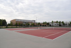
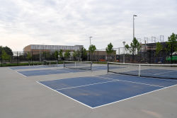
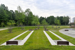
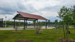
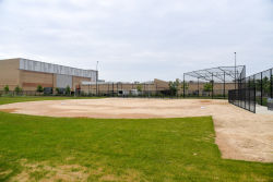
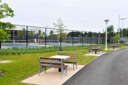
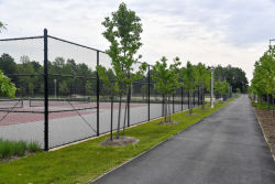
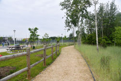
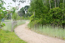
The site was transferred from the NYC Department of Citywide Administrative Services to NYC Parks in 2003. Construction began in 2019 to turn this underutilized parcel into a sprawling green space with baseball and multipurpose fields, courts for pickleball, tennis, bocce, an ADA-compliant trail, a public restroom, and a picnic area. This wooded area boasts newly planted trees, nature trails, and wetlands completed in 2020.
What is this park named for?
In 2020, as part of an NYC Parks initiative to expand the representation of African Americans honored in parks, this area of Fairview Park was renamed Sandy Ground Woods. Sandy Ground was the nation’s oldest continuously settled free Black community.
The name Sandy Ground first appears on records dating back to 1779 describing the type of soil in the area, conducive for cultivating strawberries and asparagus. In 1828, a year after abolition in New York, Captain John Jackson was the first Black man to purchase a home in the area. He operated and established a ferry route between Rossville and Manhattan. The growing community network of free Blacks with no precise boundaries had many names such as Sandy Ground, Little Africa, Woodrow, and Harrisville after strawberry farmers, Moses and Silas Harris. The community encompassed parts of Rossville, Woodrow, Pleasant Plains, and Charleston. Evidence suggests that it might have been a station on the Underground Railroad before and during the Civil War where freedom seekers would stop on their way to Canada.
Lured northward by the rich shellfish beds of the Prince’s Bay, better working conditions, and the ability to own property many of the residents were free Black oystermen from Maryland who practiced their trade on the island until water pollution killed the formerly thriving industry in the early 20th century. The community adapted throughout the years by transitioning from agriculture to industrial work and became a thriving and successful enclave.
Several of the community's historic structures are still extant, including the Rossville A.M.E. Zion church and cemetery, three residential homes that have been designated as New York City landmarks, and the Sandy Ground community itself is on the National Register of Historic Places. As of 2020, four families still residing in the Sandy Ground area could trace their lineage to Sandy Grounds’ founders, and dozens more descendants in the metropolitan region are congregants at the historic church.
Check out your park's Vital Signs
Clean & Safe
Green & Resilient
Empowered & Engaged Users
Share your feedback or learn more about how this park is part of a
Vital Park System

