Dwyer Square
Dwyer Square
This park honors Private John J. Dwyer, a native of Queens who died in World War I. Dwyer grew up at 18 28th Street in Long Island City and served as a Private First Class in Company M, 71st Infantry Regiment of the New York National Guard. Private Dwyer was killed in action on October 2, 1918, just 40 days before the armistice and the end of the war.
On June 26, 1917, two months after the United States entered World War I, the City of New York acquired the land now known as Dwyer Square by condemnation. It became parkland and the Board of Aldermen (predecessor of the City Council) named the square on June 14, 1932, “to pay tribute to the memory of one who made the supreme sacrifice in the World War.”
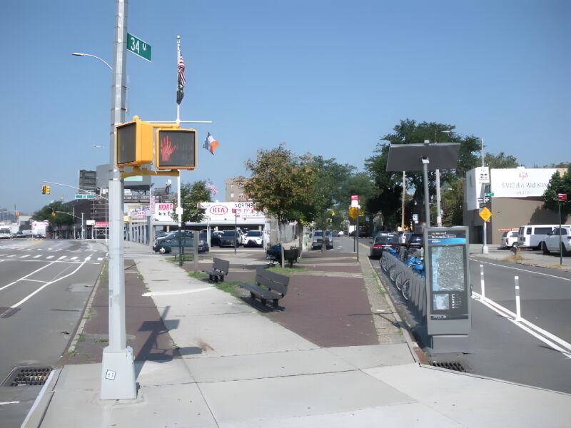
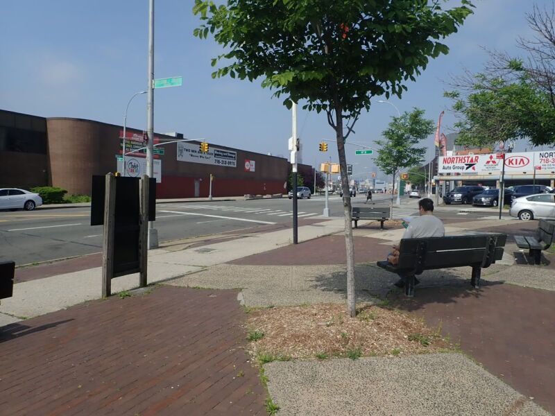
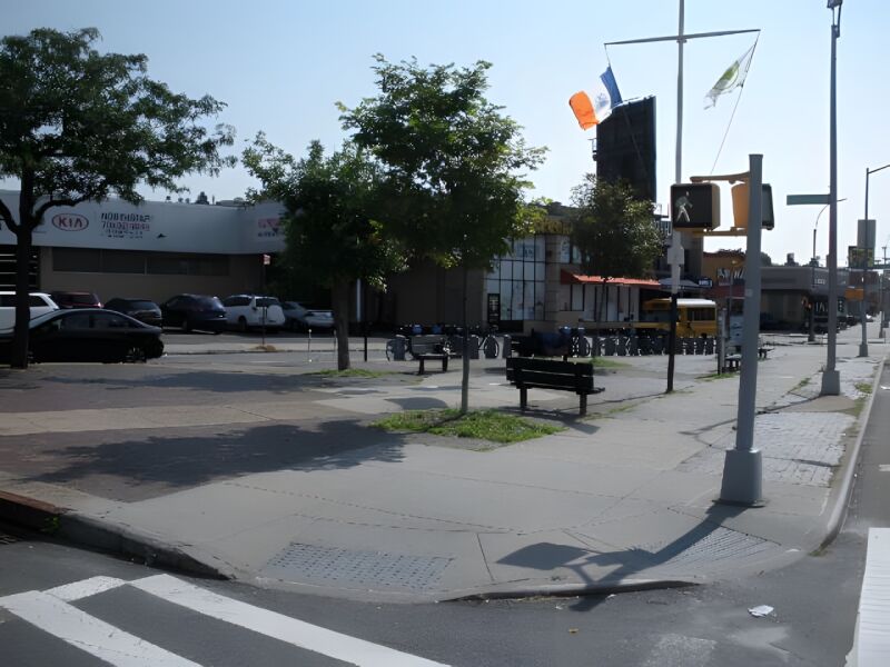
Private John J. Dwyer Square is located at the intersection of Northern Boulevard, 34th Avenue, and 47th Street in the section of Long Island City that is commonly called Astoria. On May 4, 1970, Astoria and several other Queens neighborhoods, including Hunter’s Point, Steinway, Blissville, Dutch Kills, Bowery Bay, and Ravenswood consolidated to form Long Island City. Officials debated over a name for the new union, finally agreeing to name it after the newspaper that had started operation there in 1865, the Long Island City Star.
Dwyer Square lies near an old Native American trail (Woodside Avenue) that served as the main road from western Queens to the village of Newtown during the early American Colonial Period. The road ran along a tongue of dry land between the swamps of Long Trains Meadow (towards present day Jackson Heights), Wolf Swamp (towards present day Maspeth), and Burger’s Sluice (along present day Northern Boulevard). Also nearby lies Northern Boulevard, an important six-mile road connecting Flushing to Hunters Point. It was originally named Jackson Avenue for Turnpike President John C. Jackson whose leadership and efforts made the road possible. Costing nearly $40,000 and opening on July 13, 1860, the highway was originally composed of milestones, a gravel roadbed, and a small tollhouse and gate where travelers would pay a nine-cent fee for passage. Foot traffic, however, was free.
In September 1980, the City rededicated Dwyer Square. The square contains a flagpole with a yardarm, brick and concrete walkways, benches and a diverse collection of trees, including Japanese pagoda, honey locust, and green ash.

Check out your park's Vital Signs
Clean & Safe
Green & Resilient
Empowered & Engaged Users
Share your feedback or learn more about how this park is part of a
Vital Park System![]()
 |
%7Cutmcsr%3D(direct)%7Cutmcmd%3D(none)%3B%2B__utmv%3D88780175.-%3B)