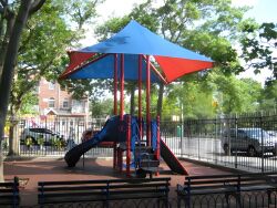
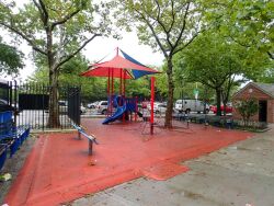
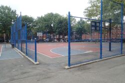
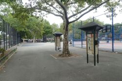
The history of Corona is intimately tied to the arrival of the Long Island Rail Road in this area in 1854. When speculators from New York City began developing the settlement during that same year, they planned the streets in accordance with the railroad route. The tiny village was called West Flushing in remembrance of the Flushing Remonstrance, a landmark document drafted by Quakers 200 years earlier that called for religious freedom in America. The town grew quickly in population and in self-importance, and in 1872, the village decided upon a name it could claim as its own. Corona, a Latin term for "crown," was chosen because the town's settlers considered their home the corona of all Long Island municipalities.
Show Disclaimer
Check out your park's Vital Signs
Clean & Safe
Green & Resilient
Empowered & Engaged Users
Share your feedback or learn more about how this park is part of a
Vital Park System


