This text is part of Parks’ Historical Signs Project and can be found posted within the park.
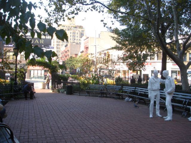
The land that is now Christopher Park was developed from 1633 to 1638 as a tobacco farm by Wouter Van Twiller, Director-General of New Netherland. Following Van Twiller’s death, his land was divided into three farms: the Trinity Church and Elbert Herring farms to the south and Sir Peter Warren’s farm to the north. Skinner Road was laid out along the line separating the Warren farm from the other two. This road was later renamed Christopher Street, honoring Charles Christopher Amos, an heir of a trustee to the Warren estate
Show Disclaimer
This map is designed to represent parks as they are used by the public. It should not be used to represent the legal boundaries of property under Parks jurisdiction. If you would like to view all City property under the jurisdiction of NYC Parks, please visit NYC OpenData.

Check out your park's Vital Signs
Clean & Safe
No recent capital investment.
Green & Resilient
14
Mapped Trees
No natural areas present at this site.
Empowered & Engaged Users
No recent or upcoming events.
Share your feedback or learn more about how this park is part of a
Vital Park System![]()
 |
%7Cutmcsr%3D(direct)%7Cutmcmd%3D(none)%3B%2B__utmv%3D71076574.-%3B)