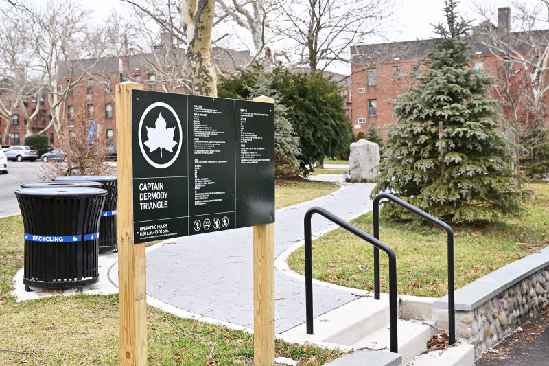
What was here before?
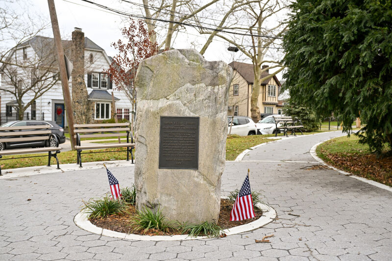
During the 1800s this area was originally part of the W.L. Titus Farm before becoming the O'Donnell estate. Additionally, a two-room schoolhouse once stood on this site. A descendant of the O'Donnell family, William, married Olivia Dermody, who hailed from another prominent Queens family. Olivia dedicated this plot of land to her brother, who died during the Civil War.
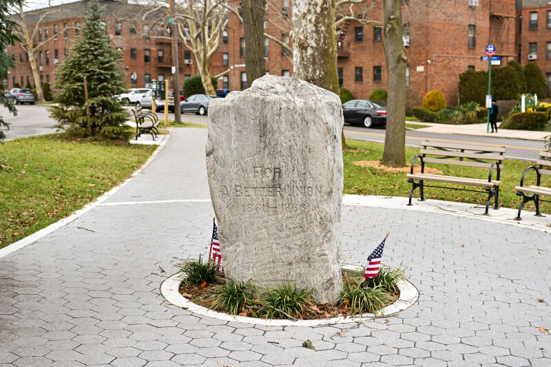
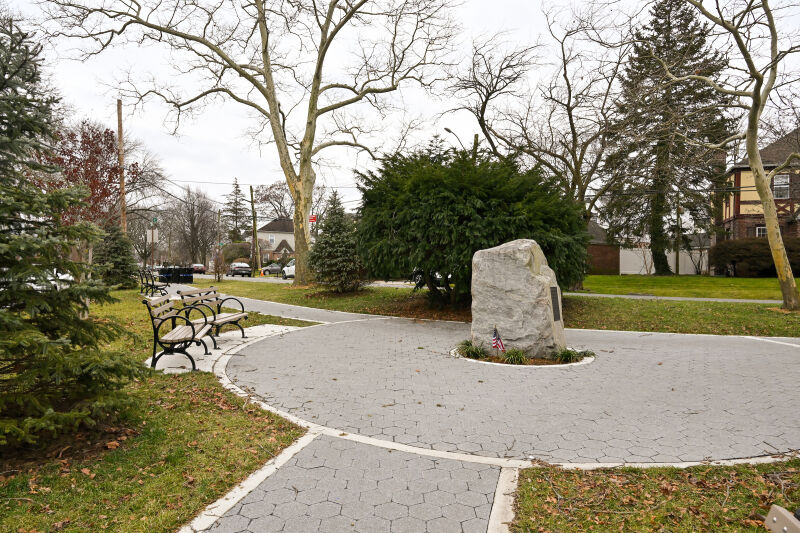
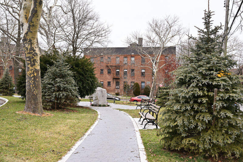
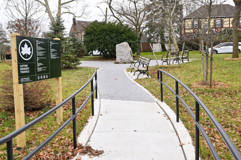
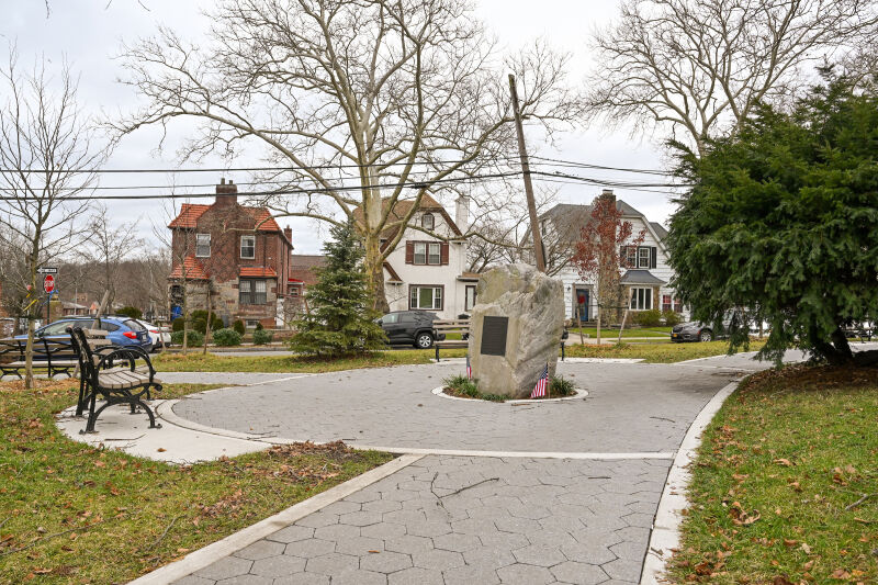
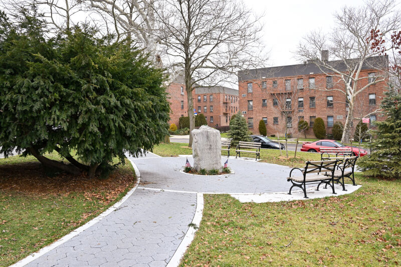
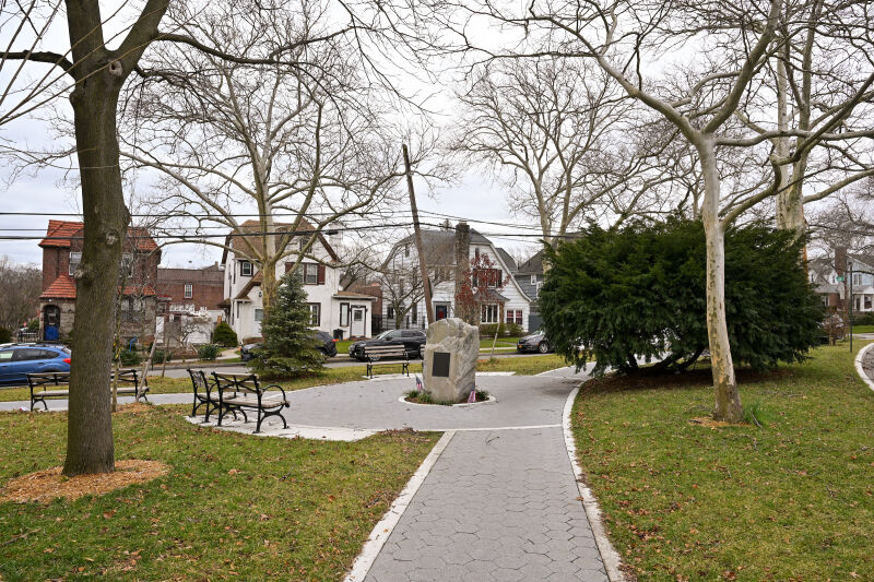
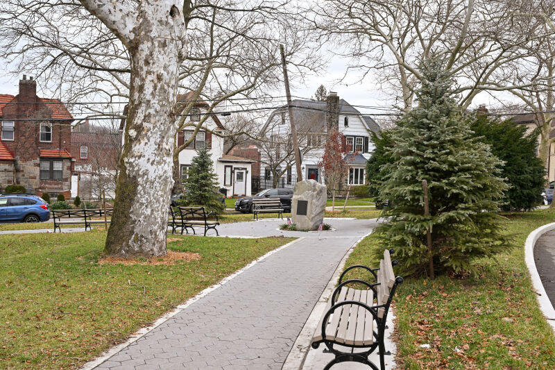
Olivia dedicated this plot of land in 1865 to her brother, Captain William C. Dermody, who died during the Civil War. The site was marked by a ceremony where a Union and a Confederate veteran each planted a tree—one maple for the North and one cotton ball tree for the South—symbolizing hope for a reunited nation. A monument was placed with the inscription "For a Better Union 1861-1865" to commemorate the sacrifices and the hope for reconciliation.
How did this site become a greenspace?
Show Disclaimer
Facilities


Check out your park's Vital Signs
Clean & Safe
Green & Resilient
Empowered & Engaged Users
Share your feedback or learn more about how this park is part of a
Vital Park System![]()
%7Cutmcsr%3D(direct)%7Cutmcmd%3D(none)%3B%2B__utmv%3D63567397.-%3B)