Astoria Park
Charybdis Playground
What was here before?
This site was originally inhabited by the Canarsee tribe. Local inhabitants grew crops, fished in the East River, and drew water from Linden Brook, a small stream that still flows under Astoria Park South. In the mid-1600s, the Dutch parceled out this land to various owners. In the 19th century, wealthy families built country houses along the shore. By the beginning of the 20th century, the industry began to dominate the Queens waterfront.
How did this site become a playground?
Charybdis Playground is part of Astoria Park, which was acquired by the City of New York in 1913 in response to calls for public access to the East River in the face of growing coastal industrialization. Before it was officially named Astoria Park in 1913, it was known as William J. Gaynor Park and East River Park. The park quickly became a destination for thousands and its amenities evolved to accommodate recreational uses in the early 20th century. The park was expanded in 1937 and 1969.
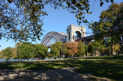
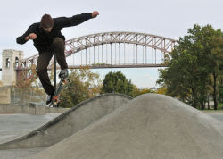
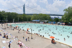
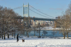
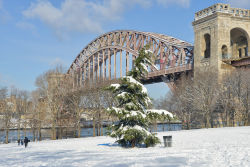
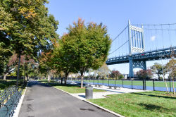
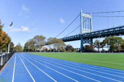
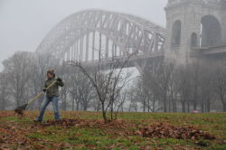
Charybdis Playground, situated on the western edge of Astoria Park, was built in conjunction with the 1936 construction of Astoria Pool, under Commissioner Robert Moses (1888-1981). The playground was renovated in 1998, and a redesign in 2021 incorporated new play equipment and game tables. The public restroom on its south end was renovated most recently in 2021. With its striking views of both the Triborough and Hell Gate Bridges, this playground is a magical spot along the East River.
Who is this playground named for?
Originally known as Astoria Park Lower Playground, NYC Parks Commissioner Henry J. Stern (1935-2019) gave the park its present name in 1997. The playground’s name refers to Charybdis, a Greek mythological figure who was the daughter of Poseidon, the god of the sea. As a young nymph, she flooded lands to add to her father’s kingdom until Zeus, the supreme ruler of the gods, turned her into a monster. Charybdis and her counterpart Scylla are personifications of the violent waters in the Straits of Messina, not unlike the turbulent waters of the nearby Hell Gate channel in the East River.
Hell Gate is formed by faults deep underground and contains some of the deepest waters in the New York Harbor and several hazardous reefs. In the 1850s and 1870s, attempts were made to remove the dangerous rocks of Hell Gate, including one effort that was the world’s largest detonation at the time. It has been the site of several shipwrecks, including the 1780 sinking of the frigate Hussar, whose $5 million cargo remains at the bottom of Hell Gate, and the 1904 sinking of the General Slocum, which caught fire as it approached Hell Gate and killed 1,021 of 1,300 passengers. It was the worst inland maritime disaster in the United States history and the greatest loss of life in a single day in New York City until September 11, 2001.
Check out your park's Vital Signs
Clean & Safe
Green & Resilient
Empowered & Engaged Users
Share your feedback or learn more about how this park is part of a
Vital Park System

