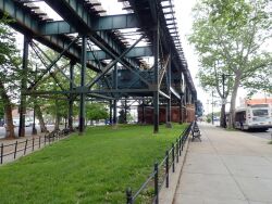
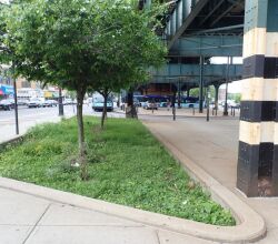
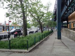
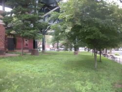
Williamsbridge Square
White Plains Rd. bet. E. 212 St. and Magenta St.
Bronx
Directions via Google Maps
What was here before?
In the eighteenth century, John Williams had a farm on the east bank of the Bronx River, and some credit him with building the first Bronx River crossing. Though the story is unproven, his farm was closest to the earliest bridge and by the 19th century, the bridge and surrounding community became known as Williamsbridge, the park’s namesake and previous name of E. Gun Hill Rd Bridge. The neighborhood has also been called Olinville.
In the mid-1800s, a dry goods store and post office were on the north side of the intersection. To the east, Briggs family heirs, one of the borough’s oldest families, owned several properties. On the southeast corner, Stephen Valentine, of another early Bronx family that often intermarried with the Briggs, operated a stage (or carriage) operation. By 1881, his business was replaced with the hotel Jerome Hall, which operated for a couple of decades.
Show Disclaimer
Check out your park's Vital Signs
Clean & Safe
Green & Resilient
Empowered & Engaged Users
Share your feedback or learn more about how this park is part of a
Vital Park System


