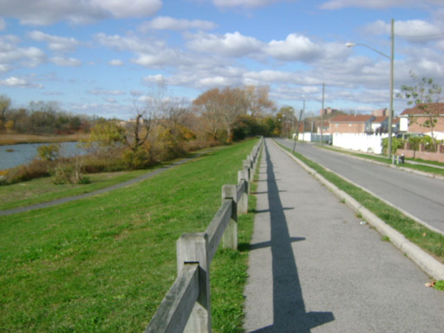
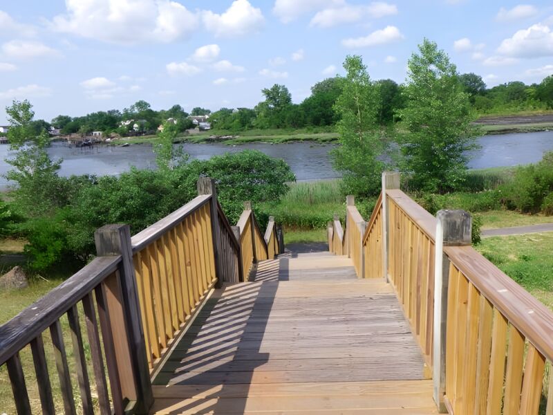
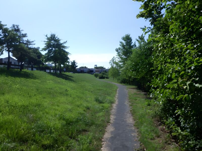
Castle Hill Park
Barrett Ave., Hart St. bet. Olmstead Ave. and Zerega Ave.
Bronx
Directions via Google Maps
Castle Hill Park lies at the tip of Castle Hill Neck, a peninsula named by English settlers for a fortified Indian village located on a hill overlooking the East River. This village, inhabited by Siwanoy Indians, was known as Snakapins and was first discovered by the explorer Adriaen Block during his expedition to North America in the early 1600s. Located between Westchester Creek to the east and Pugsley Creek to west, Castle Hill Neck was first settled in 1685 by John Cromwell, a cousin of Lord Protector Oliver Cromwell. John Cromwell’s father, Colonel John Cromwell, served in the Puritan forces during the English Civil War. However, Colonel Cromwell disagreed with Oliver Cromwell over the execution of King Charles I. Serving as an emissary of Prince William of Orange, the ruler of the Netherlands, Colonel Cromwell delivered a plea to Oliver Cromwell for the king’s life. When Oliver Cromwell rejected the plea, Colonel John Cromwell fled to the Netherlands. His so…
Show Disclaimer
Facilities


Highlights

Check out your park's Vital Signs
Clean & Safe
Green & Resilient
Empowered & Engaged Users
Share your feedback or learn more about how this park is part of a
Vital Park System![]()


%7Cutmcsr%3D(direct)%7Cutmcmd%3D(none)%3B%2B__utmv%3D37292562.-%3B)