Playground Eighty Nine LXXXIX
W. 89 St., Amsterdam Ave. and Columbus Ave.
Manhattan
Directions via Google Maps
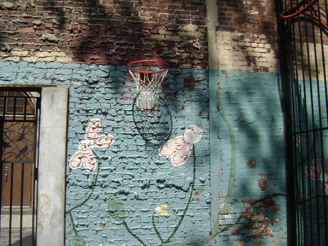
Playground 89 is named for its location on 89th Street, between Amsterdam and Columbus Avenues. The numbered street naming system in Manhattan is the result of the Commissioners Plan of 1811. New York City Mayor DeWitt Clinton (1769-1828) created the commission, which was charged with planning the orderly development of Manhattan north of Houston Street. Prominent New Yorkers such as politician Gouverneur Morris (1752-1816), surveyor Simeon De Witt (1756-1834), and lawyer John Rutherford (1760-1840) filled the commission’s ranks. Planners agreed on an orderly, easily accessible system of rectangular blocks to tame the unsettled land. Known as the “grid system,” the plan arranged 12 north-south avenues running perpendicular to 155 east-west cross streets, with avenues 100 feet wide and streets lying 200 feet apart. The plan also provided for parks to be located on 53rd, 66th, 77th, and 120th Streets. Latter additions to the plan included the creation of Union…
Show Disclaimer
Facilities

Highlights

Check out your park's Vital Signs
Clean & Safe
Green & Resilient
Empowered & Engaged Users
Share your feedback or learn more about how this park is part of a
Vital Park System![]()
 |

%7Cutmcsr%3D(direct)%7Cutmcmd%3D(none)%3B%2B__utmv%3D18247389.-%3B)